
More ships, more types, more hazards
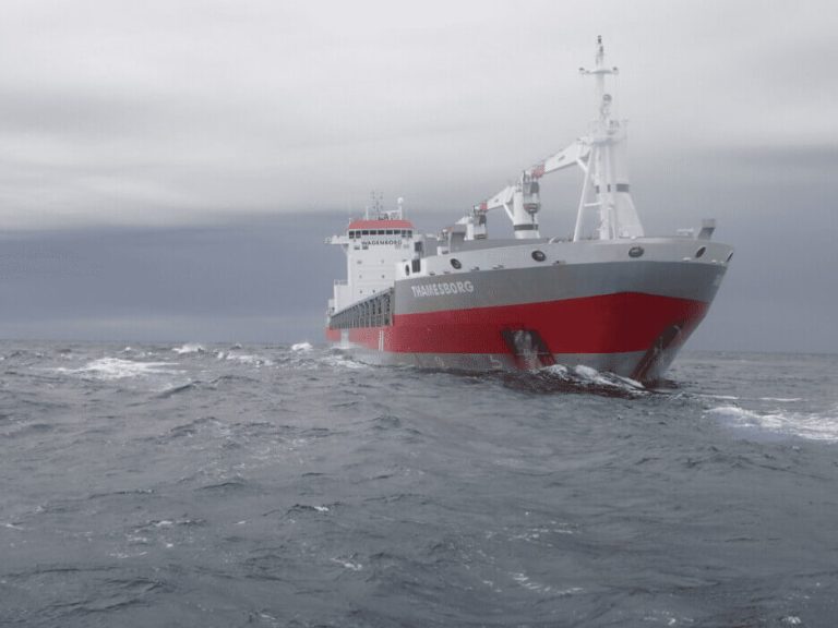
In addition to growing access, the profile of Arctic voyages is changing — Arctic waters are no longer the exclusive domain of icebreakers, research vessels, or small expedition cruise ships. Container ships, bulk freighters, and other larger commercial vessels are increasingly venturing into Arctic and Northern Passage transits.
Regardless of the vessel type, they all face a common challenge – incomplete seabed mapping and limited hydrographic data. The ocean floor near the Canadian Arctic Archipelago is far less charted than more trafficked routes like Halifax Harbour or the Saint Lawrence River — increasing the risk of groundings, hull damage, or other accidents.
Thawing sea ice also reveals new risks: faster-moving ice floes, iceberg surges, sea-ice deformation, and shifts in ocean currents that can trap or redirect older ice. When combined with unpredictable weather, these hazards can further complicate navigation for Arctic vessels.
Shorter navigable windows
While longer ice-free seasons might suggest a more navigable Arctic, emerging data indicate that navigable windows may be shrinking in some regions, including parts of the NWP. A study on the Eastern Beaufort Sea found that the safe navigation period dropped from 27 weeks in 2007 to just 13 weeks by 2021.
This paradox — more open water, but more dynamic and risky conditions — suggests that accessibility doesn’t equate to reliability. The Arctic remains a place of changing hazards, and seasonal openings are uneven and unpredictable.
Economic potential of the Arctic passageway
Despite the risk, there are still many economic reasons to use the Arctic passage as a transportation route.
One of the strongest economic incentives is reduced transit distances and shorter voyage times, which translate into fuel savings and lower operating costs. For example, some routes through the Northwest Passage or Northern Sea Route (NSR) can reduce the distance between East Asia and Western Europe by up to 40 percent compared to conventional routes (e.g. via the Suez Canal).
Shorter voyages also mean lower emissions per trip (all else being equal) and potentially fewer costs for fuel surcharges and carbon levies, thereby bolstering the commercial appeal for shippers with high cargo volumes.
Beyond transit time, Arctic routes can help reroute traffic away from congested chokepoints, such as the Suez or Panama Canals, thereby reducing delays, canal fees, and risks associated with geopolitical disruptions.
In certain scenarios, shippers anticipate cost reductions of up to 33% by bypassing conventional routes altogether. Especially for bulk cargo, energy, and over-dimensional goods that are less time-sensitive but sensitive to cost per ton, these savings can be compelling.
In effect, the opening of Arctic Sea routes can act as infrastructure multipliers: allowing not just faster shipping but enabling new economic corridors, resource development, and regional trade growth.
Imperative for enhanced risk assessment
As Arctic shipping expands, the margin for error becomes increasingly narrow. Grounding risk assessments, real-time monitoring, and refined hydrographic data are becoming essential tools for maritime operators, governments, and rescue agencies. Recent research has proposed integrated accident mapping and risk assessment frameworks tailored to the unique hazards of Arctic shipping.
Tools like OCIANA, which provide real-time monitoring, comprehensive risk prediction, including grounding risk assessments, are crucial for planning Arctic transits, forecasting potential trouble spots, and responding to emergencies when vessels go aground — particularly in remote regions like the Northwest Passage, where rapid rescue is challenging.
Contact us to discover how OCIANA© can benefit you.